Anton Chico and Other Land Grant Communities
In 1822, the New Mexico government established the Anton Chico Land Grant, covering 378,537 acres. A small group of settlers petitioned for the grant, agreeing to settle the area and hold the land in common for themselves and future generations. The first settlers came from La Cuesta (now Villanueva), but the community faced abandonment in 1824 due to territorial conflicts. It was successfully resettled in 1834.
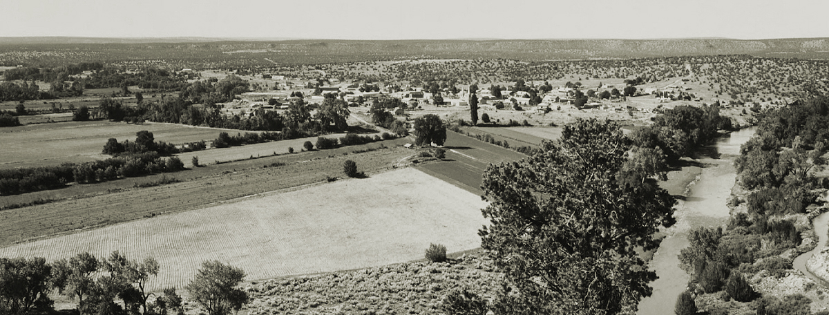
Over time, seven settlements sprouted along 7.5 miles of the Pecos River, including Tecolotito, Upper Anton Chico, Anton Chico (the largest settlement), Llano Viejo, La Loma, Llano del Medio, Dilia, and Colonias.
Past and Present
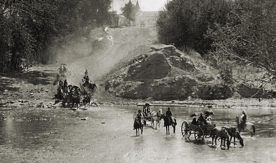
Crossing the Pecos River, bridge having collapsed. Photo: Unknown
Upper Anton Chico, 2000-236. Photo: Edward Ranney
Upper Anton Chico, 2000-238. Photo: Edward Ranney
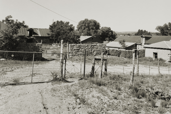
Upper Anton Chico, 2000-239. Photo: Edward Ranney
Tecolotito. Photo: Doug Keats

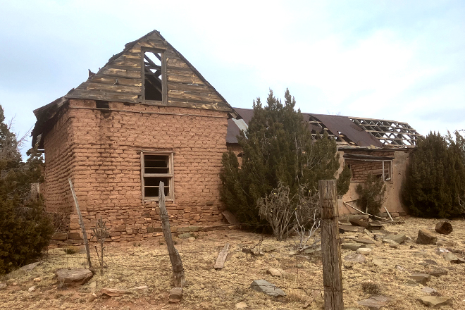
Anton Chico Adobe. Photo: Curt Bianchi
Adobe house. Photo: Art Tran
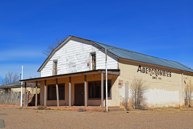
Shuttered store. Photo: Beata Certo
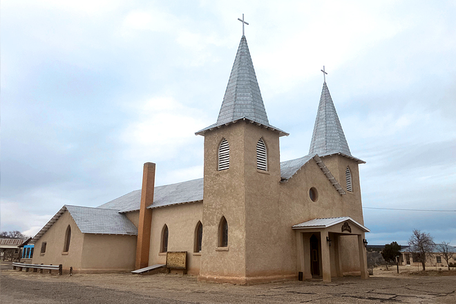
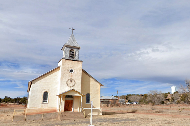
San Jose Catholic Church. Photo: Art Tran
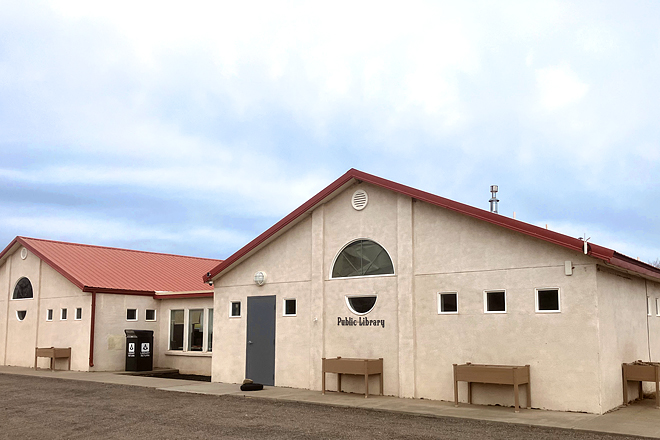
A modest public library with modern equipment and a beautiful reading room. Photo: Art Tran
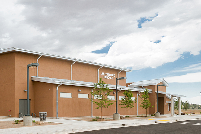
Elementary and middle school kids participate in after-school library activities. Photo: Franken Construction

Acequia del Bodo Juan Paiz. Photo: Art Tran
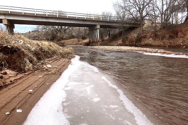
Pecos River through Anton Chico. Photo: Art Tran
By 1890, Anton Chico had a population of around 900, mostly Hispanic, and was a key mercantile hub for much of eastern New Mexico. However, as people moved away, both the population and local economy declined. A major factor in this decline was the rerouting of historic Route 66 in 1937, which had previously crossed the Pecos River near Anton Chico. The community became more isolated from major transportation routes.
In 1986, the village of Anton Chico was added to the National Register of Historic Places.
Dilia
Located at an elevation of 5,240 feet, the Dilia area has been inhabited for at least 10,000 years. Early settlers along the Pecos River traveled as far south as Texas, where the river meets the Rio Grande.
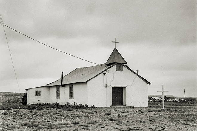
Sacred Heart Church. Photo: Google Maps
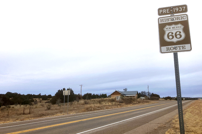
Historic Route 66 (US Highway 84). Photo: Art Tran
Some communities, like those in present-day Guadalupe and San Miguel Counties, settled along the Pecos River, while others, including Dilia, were situated along the Acequia del Bodo Juan Paiz canal. The first settlement in the area, known as Vado de Juan Paiz, was primarily a farming and livestock community. However, many of these early settlements were abandoned due to conflicts with Native American groups.
The “new” town of Dilia was established in the late 19th century, with the Sacred Heart Church (Sagrado Corazon Church) built in 1900. The town is said to have been named after the daughter of one of its settlers. In 1911, Dilia received a post office, which remained in operation until 1968 when mail was redirected to La Loma.
Route 66 passed through Dilia in 1926, offering a brief economic boost. However, the town remained small, as it wasn’t listed on the 1927 Rand McNally Road Map. In 1937, Route 66 was rerouted, bypassing Dilia and connecting Santa Rosa to Albuquerque via Moriarty. The road through Dilia was then redesignated as US 84.
Featured photo: Edward Ranney. Anton Chico and Pecos River.

Leave a Reply
You must be logged in to post a comment.